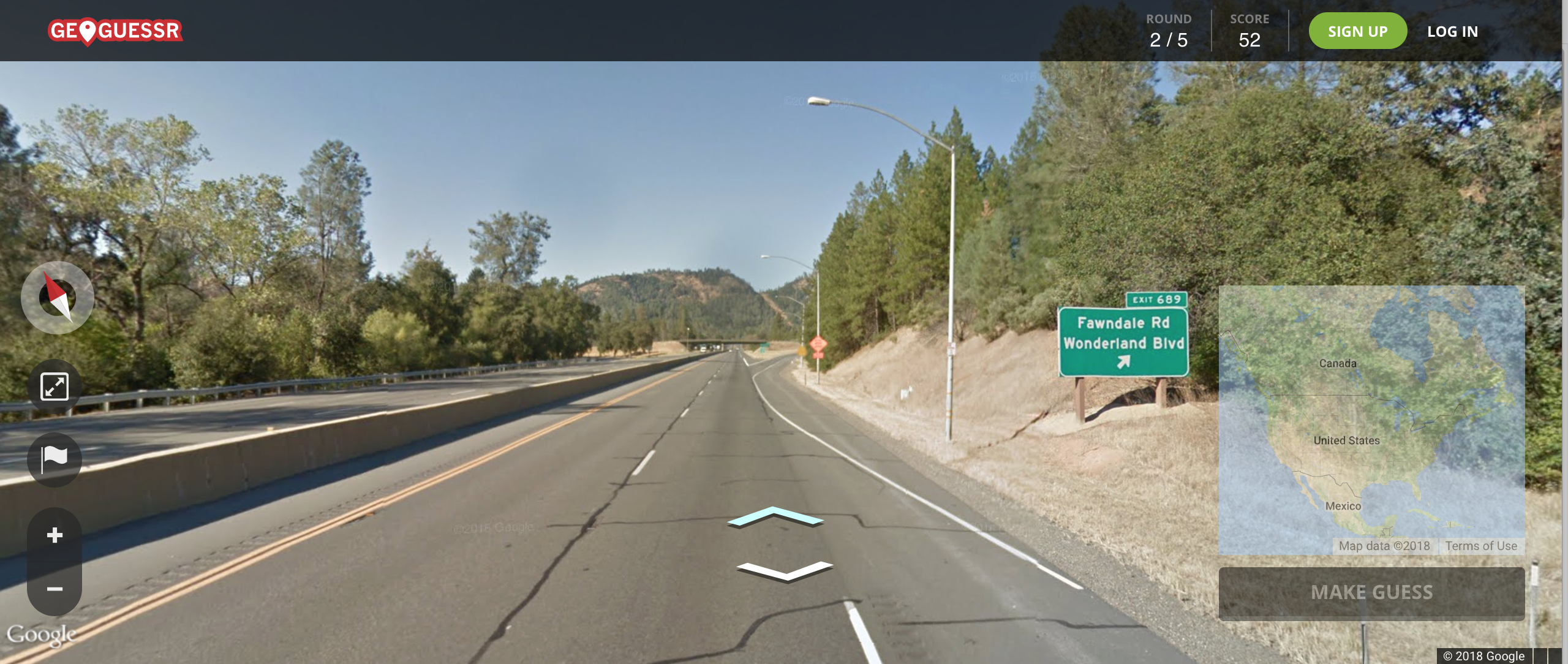
Geoguessr is an online geographically-based game where a player (or multiple players) is placed in a random place on Google Streetview, and they have to figure out where they are and pinpoint it on a map. So say, for instance, you are placed a somewhere with a western landscape. You might recognize that you’re in the western US. You might move yourself farther along the road and see a sign to Albuquerque, or maybe just to Acoma Pueblo or Paraje. You might see a post office that says, “Mesita, NM Post Office.” These clues help you to figure out exactly where you started, which, in this example, might be along Route 40 near Route 23 in New Mexico. It’s a fun game, and is honestly helpful in learning about geography.
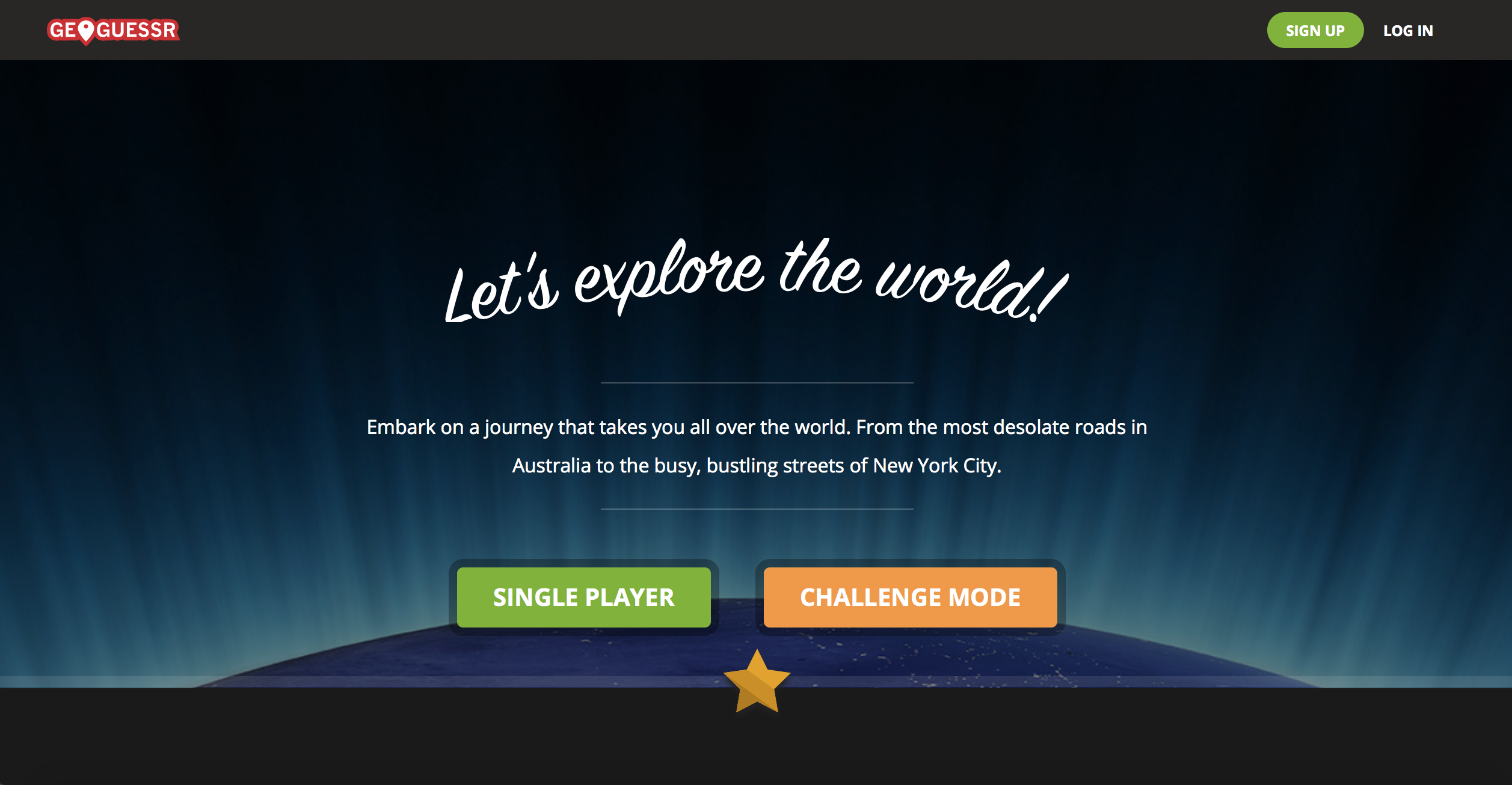
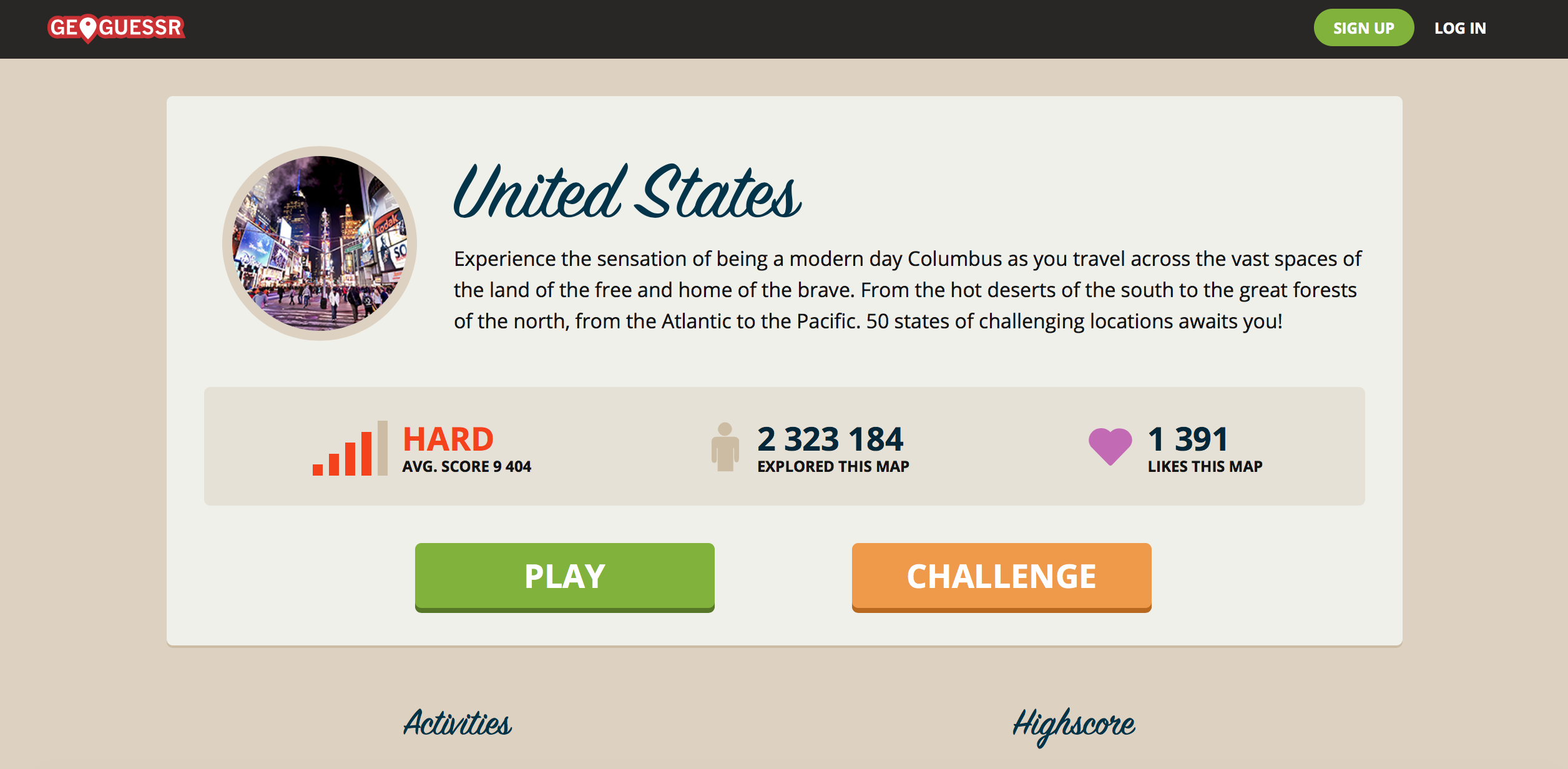
The landing page contains a dark picture of the world with an aurora-borealis-looking sky, and some white text over it. The text says “Let’s explore the world!” and underneath it is some text that expands that statement further. Then, there are two buttons: Single Player or Challenge Mode. Likely, a person who is visiting the site for the first time might be immediately curious and click one of these buttons. When you scroll down, there are even more options. Different maps, made by both the creator and other online users, which can include the world, the US, cities within the US, or other countries and cities. There is also an option to become a Pro User, then contact info, then partner websites. It seems that the farther down you go, the more geared it becomes toward returning users of the site. The webpage remains black with white text, aside from the buttons, which are mostly green. This is similar to Spotify, which was mentioned in Vivian’s post. The logo is the word “GEOGUESSR” in red and white with the “O” as the infamous google maps pin. All of these things work together to show that this website is largely based on geography and place, symbolized by the green color schemes and the map pin in the logo. This initial page is rather simple and calming. When different maps are clicked on, the theme changes to more light, tan and white hues with descriptions, high scores, and suggestions.
The actual game play is the street view images connected in such a way that you appear to be “driving” down the road as you click the arrows along. The logo still remains in the top left corner, and the top right corner tells you the round that you are on (there are five per game), as well as your score. Buttons on the sidebar give you your cardinal direction, as well as allow you to make the game full screen, return to your original location, zoom in, and zoom out. A map is on the right, which is how you guess where you are on the map.
Word Count: 491